Friday, October 26, 2012

Base Camp Pfeifferhorn


When I started this blog a few years back I thought it was all about sharing and showing great backcountry tours in the Wasatch. It seems I was wrong. Looking back at the posts, most of them are dry land! That’s because I get all excited about the upcoming season as I train in the pre-season and in between the training sessions I still have enough time to blog. In the winter on the other hand, tours are great and wonderful and pretty long and all that skiing takes time away from blogging, as it absolutely should. So this year I am going to do things differently: I will in the fall share and show great backcountry tours from the prior year(s). Of course I am talking here about tours that never had been posted yet.
I am starting here with one of my absolute favorites in the Wasatch: Overnight tour at the Pfeifferhorn. My buddy Mike Florence and I had done our fair share of annual pilgrimages to the Pfeifferhorn because it is such an aesthetic area and summit in addition to having unlimited exceptionally good skiing. One day early in the season my Mike and I decided that this time around we needed more time on site and so we would camp right there and wake up in paradise! We decided to camp in Maybird gulch on top of a treed knoll that we had identified as a potentially good, safe and protected base camp. After going through route definition, equipment lists etc, we left in the am on Thursday, April 3rd of 2008 with about 60 Lbs. on our backs.

Trail head: White Pine parking lot (elevation 7,650 feet). This is about 5 1/2 miles up Little Cottonwood Canyon from the Y-Junction and 3/4 mile below Snowbird Ski Resort on the right hand sides of the road. Watch out it’s easy to miss!

Summit: 11,326 feet

Equipment: Skis, ski-crampons, crampons & Ice Axe (and of course the ever present Whippet).

The tour: We started at a comfortable 7 am knowing we would not be too pressed for time on the mountain. From the White Pine parking lot we skied down to the bridge crossing the creek and then followed the obvious trail to the right. We very early left White Pine Canyon, and crossed over into Red Pine Gulch at about 8,000 feet or so. Here we decided to not follow the regular summer route up past Red Pine Lake but instead continue west and cross into Maybird Gulch at about 8,700 feet and from there proceed to the treed knoll at about 10,700 feet to establish camp. We were done at about 11 am and had the rest of the day to explore and ski. This was a fairly stormy day with some snow and a lot of wind particularity on the ridge lines  We skinned up to the ridge line between Maybird and Red Pine and skied that, then across Maybird (heading West) to the Obelisk and skied back from there to camp as the weather was not improving. Luckily for us everything calmed completely down by the evening and by the time we were cooking the wind was gone and the skies were blue! We woke up in the morning to the same spectacular conditions, skinned up towards the Pfeiff as far is we could and then continued on crampons to the top. Here are the pictures of the tour (click to enlarge).


Starting the long heavy slog...

Getting up to the Maybird/Red Pine ridge line after having set up camp.

Mike on top of the ridge line in the storm (this is one guy that knows how to suffer in silence).

Things to come...
Across and over to the other ridge line (Maybird/Hogum) and here is Mike
at  the obelisk.  The top of the Pfeifferhorn  is  behind in the clouds. 
...and I was there too...
Back to camp in the kitchen.
Mike presiding over "base camp".


Next morning is a glorious one indeed with this immediate access to the Pfeifferhorn.
When the skins won't do it anymore, crampon up...
...and up...


Mike on top of the Pfeiff and the world...
 

View into Hogum Fork
We are gnats in the land of giants... (click to enlarge) 
Tasty lines off the ridge to the Pfeiff
Magic surroundings, majestic peaks, unlimited skiing and friends: The meaning of life!
A last look behind before it's back to camp...


Thursday, October 18, 2012

More snow!

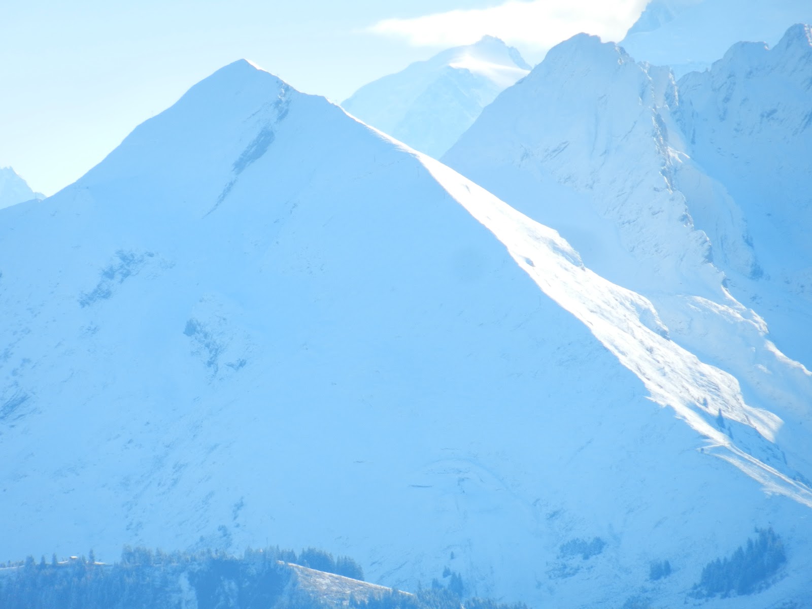
On October 16th i.e. this last Tuesday we yet again found snow, this time at 1,400 m (4,400 feet) at Tervelles (about a 20 min. drive from home) and a lot more than last time (see: 1st Snow!). All the distant mountain shots are of the range of the Aravis, here are the pictures (click to enlarge):


And some animal life, the Chamois so characteristic of the alps:


Monday, October 8, 2012

Montagne du Sulens

Training requires motivation; a good way I find to keep the eyes on the prize is to scope out ski terrain when running uphill. So today, I went and explored Montagne du Sulens which is the Haute-Savoie version of the Wasatch’s Powder Parks, the place you go to when conditions are hairy but you need to be out and you still refuse to go to the resort. Although this is not exciting terrain, what I do like about this place is that it’s all grassy making it a very likely early season candidate.

Sulens - the "big" side

Sulens - the small end

Why Sulens is not all that avy prone. Told ya its not too exciting...

Winter view one of a Sulens slope

Winter view two of a Sulens slope, it does feel a lot like Powder Parks
...And for your viewing pleasure, here are a few additional pictures taken today from Sulens:

The Mont-Blanc with his characteristic lenticular cloud being blown off by an incoming storm

The glaciers of the Vanoise natural park

la Pointe Percée, highest point of the Aravis massif at about 9000 feet (and a fun  hike)
Typical "alpage" which is the high elevation summer grazing grounds for the alpine cow
...and last but not least: The colors...


Sunday, October 7, 2012

Glacier d'Argentiére

The Argentière Glacier is the glacier lying perpendicular to the Chamonix valley above the village of Argentière. Starting from the Grand Montets resort parking lot this hike involves an ascent of about 3,500 feet.  It is an interesting one to me because 1) it’s a glacier, 2) it’s skiable from the Grands Montets tram, and 3) it offers access to a ski line of classic beauty off the Aiguille d'Argentiére. This is a great way for me to figure out what it takes to get to that line as well as seeing it live. Or rather imagining it live as it will require a few snowfalls before its ready for skiing…


Here are my two american _____ (fill in the blank). YOU ARE CORRECT!
You DID pick ladies? Right!?!?
Aiguille d'Argentiére
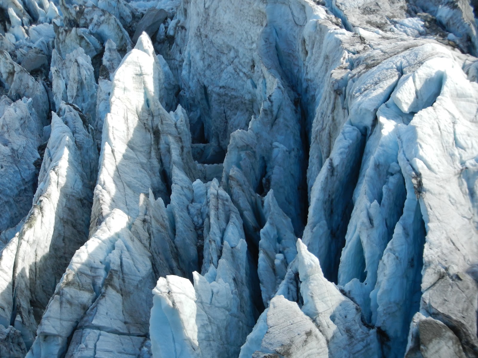
The glacier


More glacier...
For that special glacier feel...

The beautiful pyramid dominating the glacier is Mont Dolent,
a 9014 ft (2748 m) mountain on the  Swiss (Valais) side of the border.

Water running off the opposite old glacier line dating
back to the mini ice age in the middle ages.

The Chalet de Lognan at 6668 feet (2032 m) as seen from above.
It will open again on Dec 20 till early May.

Chalet de Lognan as seen from below.

Friday, October 5, 2012

A training bonus

Every now and then you get a bit more than a work out running up a hill with an oversized backpack. Last year at about this time, in the Massif des Bornes, I took some wild life pictures at about 1,000 feet above the Larrieux hut which is still open. This time I got a few really nice shots of the Ibex. So without further ado and for your viewing pleasure (click to enlarge):

The ridge line at Crete de Tervelles, if you look carefully you see an ibex in the center

For that backountry.com feel...

A younger one, not fully "logo ready".

Here is the younger one with mommy...
WE ARE FA-MI-LY...

The second family portrait.


Thursday, September 27, 2012

First Snow!


Let me correct that: First snow down low. Today on my “training hike” up to crête des Tervelles (Massif des Bornes) there was a great training motivation booster in waiting as I got up: Snow! I am here talking about snow below the 5000 feet mark . This hike starts at 735 m (2,400 feet) and tops out at 1,775 m (5,800 feet). Well just a bit over an hour into this thing Skadi and I were in snow. Here are the pictures (click to enlarge):
View of the Massif des Aravis that tops out at about 9,000 feet. The higher summits are all in the clouds on this picture.
This almost looks skiable today... The snow covered summit in the middle tops out at about 7,000 feet.
Here the snow goddess is enjoying her first contact of the season and since this is still only September...