Tuesday, September 27, 2011

Rock avalanche!

On Saturday the 10th of September, as we were hiking up towards the Aiguilles Rouges a big bang that turned into an impressive roar could be heard coming from the other side of the valley. What was at first a small cloud emerging from les Drus (12,313), grew to an amazing amount of debris, dust and ice. This rock fall was "the end" of a larger one that happened in 2005 I guess six years is six seconds in geological time... In 2005 the Bonatti (an extremely competent italian alpinist) couloir came tumblig down.
The white arrows show the scar that is still visible from that cartastrophic event. The red arrow shows "the rest" that fell down on Saturday:
The 2005 event was the largest rock fall yet observed in Chamonix. I am told that in 2005 you could feel the ground shake from Geneva to Italy. The on we wittnessed on Saturday was the biggest since 2005 with 12,000 m3 of granit crashing down


here is how the cloud grew after the first impact seen above:


...and now it gets outright serious:


Here are the "unavoidables". Aiguille du Midi:


...and the Mt Blanc:

Sunday, September 25, 2011

The “Refuge Albert 1er”

Was back up to Cham yesterday morning, started from “Le Tour”; that’s way up the valley, your almost in Switzerland now. The hut (refuge in French) is named after Albert the first who was this swell king of Belgium. He was an avid mountaineer with a penchant for Cham and he was no fake either, he undertook some significant climbs in the Mt Blanc massif and elsewhere. In fact he was so real about his climbing that he died of it in 1934 while climbing in the Belgian Ardennes but not before he had taken out time to deed the hut to the Chamonix CAF (Club Alpin Français). Ever since then we have enjoyed this very strategically located hut and a good thought for good old Albert. This is one of 128 huts that the club maintains in France, of which I think about 30 are in or around Cham.


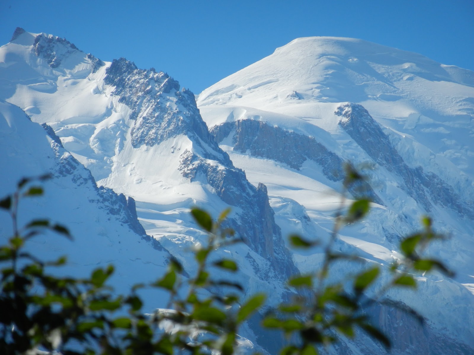
I went up the moraine following the “glacier du tour” and ended up a bit above the “Refuge d’Albert 1er. This hike is a bit over 5,000 feet with some climbing moves in its early part in pretty exposed terrain. Going up the moraine means a shorter but steeper hike so this is a demanding 5,000 feet and your pretty bushed when it’s all over. I made it a loop and went down through the ski resort but although a lot flatter, that turned out to add a ridiculous amount of miles to the visit. However as you can see in the pictures below, you do end up in a spectacular environment (click to enlarge).

Looking back and down at "Le Tour"


Water running off the Glacier du Tour


Lower Glacier du Tour


Nature's way of creating art...


Albert 1er within reach...

Aiguille du Chardonnet 12,542 (3824m)

Albert 1er the winter hut, this one is unmanned but you are wellcome
anytime in winter (there is even bedding ready for you in there).


Aiguille Verte 13,520 (3824m)


Tuesday, September 20, 2011

Virgin flight September 9, 2011


Annecy being the home of the parasail (we call it parapente in this neck of the woods) and all, I figured that since my buddy Aurélien offered me to try out the feel I better take him up on the offer before he changes his mind…
We (he) decided that for additional interest we’d pick a line that he pioneered a couple of years ago. In 2009 he took off from the Crète des Tervelles; one because people said it couldn’t be done (no landing zone) and two, because it hadn’t ever been done. This is one line he got to open. I did ask him how he figured out the landing and he told me “Google earth”. OK, how? He just scanned the bottom of that valley till he found a field he felt was good enough for landing, went over to check it out, and declared it safe! Know that this field is just a bit over a couple of hundred meters (think yards more or less) minus the 20,000 volt power line that cuts it in half, the telephone line that follows the road not to mention the tree line. Once you’re done minusing it all you’re not left with a heck of lot square footage. Hence “everybody’s” assertion that it can’t be done. Anyhow not wanting to be the one whining about minor details like landing spots, I told him I could see his logic although I have to say that it takes a fair amount of squinting…
We got off a 6:30 am on the 9th, drove the 30 or so min. to the “hidden valley” and started the 3,500 or so feet hike up with equipment and all. We were up by 10:30 and messed with the sail and the winds almost for an hour before it was a go. Here are the pictures (click to enlarge):
For the scenery: Mt Blanc in the distance
Spread your wings
Ready or not...

Take off spot


Hanging by a thread (OK a few)

My favorite hiking boots
Room with a view

In our own shadow...

The landing strip
After "licking" the power line; land after it but before
the house... My car to the right on the ready.
On solid footing...